4 Bidders for Delhi – Varanasi HSR’s Final Alignment Design
Four design and engineering firms have submitted bids to prepare the final alignment design including an aerial LiDAR survey for the Detailed Project Report (DPR) of the upcoming 865 km Delhi – Varanasi High Speed Rail (DVHSR Bullet Train) corridor which’ll connect both cities through 12 stations.
LiDAR survey is a laser-based surveying technique for rapid and accurate collection of topographic data, and will aid in finalizing the final alignment of this new high-speed rail line in northern India.
National High-Speed Rail Corporation Limited (NHSRCL) originally invited bids for this service in February, cancelled the tender in early July, and then re-invited bids in mid-July with a completion period of 150 days and estimated cost of Rs. 19.57 crore.
Bidders
- Aarvee Associates Architects Engineers and Consultants Pvt. Ltd.
- Monarch Surveyors and Engineering Consultants Pvt. Ltd.
- RITES Ltd.
- SECON Pvt. Ltd.
Contract: NHSRCL/LIDAR/2020/15
Scope: Final Alignment design including Aerial LiDAR survey and other related works for Delhi-Varanasi High Speed Corridor (about 865 kms. long).
The bids have now been sent for technical evaluation which can take a couple months to complete. When that is complete, the financial bids of the technically qualified bidders will be opened to reveal who’s the lowest bidder and most likely contractor for this service.
Tentative stations on this line provided by NHSRCL in the past include – Delhi, Noida, Jewar, Mathura, Agra, New Etawah, South Kannauj, Lucknow, Raibareli, Prayagraj (Allahabad), New Bhadoi, and Varanasi.
Scope of Works
Final Alignment Report – Detailed Final Location Survey and Studies with final alignment design:
The contractor shall further refine the alignment in the selected alignment corridor by undertaking detailed Final Location Survey using Aerial LiDAR technology along with establishment of Ground Control Network, Pillar fixing, Hydrological Survey (wherever required) and final alignment design (horizontal as well as vertical). For doing this, the contractor shall undertake the following:
Aerial LiDAR & Imagery Survey:
The contractor will undertake Aerial LiDAR Survey complemented by Aerial Imagery in a corridor width of 300 m (150 m on either side) around the proposed alignment. Detailed Specifications are provided in TOR and Broadly the work will involve the following:
- Collection & paper study of existing alignment reports, data, drawing, documents, ground control points etc;
- Ground Control Survey to be undertaken as follows:
- Carrying out reconnaissance survey of the project area for identifying the Control Points locations for carrying out DGPS survey and preparing a plan of a grid network of Control Points on SOI topo-sheets/satellite imagery.
- Survey of India Benchmarks to be located during the above reconnaissance survey. These benchmarks shall be tested for stability and the same shall be reported to the client. The entire horizontal and vertical control shall be linked to the approved stable Benchmarks for conversion of LiDAR data to MSL.
- Master Control Network comprising of interconnected triangles (with baseline of about 25km) to be established for overall horizontal control with approx. 25 km baseline length throughout the alignment. Secondary Control Network comprising of interconnected triangles weaved with Master control network to be established with a baseline length of approx. 3-5 km throughout the alignment. Target LiDAR points to be established at an interval of approx. 5 km within the final alignment. To densify Horizontal Control Network, the GNSS triangulation method should be adopted and processing of data for network adjustment should be done to achieve an accuracy of at least 1:100,000 in horizontal.
- Establishment of vertical control referenced to SoI MSL Permanent Benchmarks to be undertaken by double tertiary leveling along the entire route by connecting target points. The threshold limit for levelling loop closure accuracy should be 12√K mm, where K is circuit length in km.
- Monumentation of Master and Secondary Control Points shall be undertaken if required in consultation with client as per Section 3.3.2
- Applying to DGCA/Ministry of Defence for flying permissions as per DGCA guidelines and procedures along with adherence to all security stipulations issued by Ministry of Defence in the issue of the permit. NHSRCL will provide the necessary support.
- The contractor will mobilize an aircraft/helicopter to site fitted with state of art Aerial LiDAR and Imagery sensors (equipment as per minimum specification mentioned in Annexure 3) after due security inspection as per MoD stipulations.
- Preparation of flight plan for the Area of Interest.
- Acquiring and pre-processing LiDAR data and digital imagery with LiDAR collected at a point density of 10 points per sq m with FHA (Fundamental Horizontal Accuracy) of 10 cm and FVA (Fundamental Vertical Accuracy) of 10 cm both at 95% confidence interval level. Imagery is to be taken at a resolution of 10 cm GSD.
- Pre-processing data to be referenced to MSL with SoI permanent benchmarks.
- Ground survey/Hydrological survey using traditional methods such as Echo Sounders etc along areas such as river crossings etc where Aerial LiDAR data needs to be complemented, including the following:
- 4 km (2 km on each side of centerline) along all river crossings with river cross-sections soundings (or alternate acceptable method) taken at centerline and then at every 500 m distance along upstream and downstream of the river and upto 50 m beyond high bank
- The DEM generated from this data shall be suitably merged with the LiDAR DEM in consultation with the client.
Last month, NHSRCL opened bids for the General Arrangement Drawings (GADs) contract to reveal a total of 25 bidders, while yesterday, NHSRCL received 8 bids for the Environmental impact assessment (EIA) study field work.
For more updates, check out the High Speed Rail section of The Metro Rail Guy!
– TMRG


What about Delhi Amritsar? Punjab?
Central govt has included Delhi-Amritsar in the 6 corridors identified for development –
https://themetrorailguy.com/2020/02/12/nhsrcl-invites-design-survey-bids-for-6-hsr-lines-across-india/
Haven’t seen any dedicated tender notices for its development
How come Kanpur is missing from the alignmement. Is South Kannauj Kanpur
South Kannauj is 90KM from Kanpur, I don’t know what top people are thinking.
Metro Guys please correct your map and remove Kanpur from the map.
Kanpur being one of the biggest industrial cities, should be on HSR map.
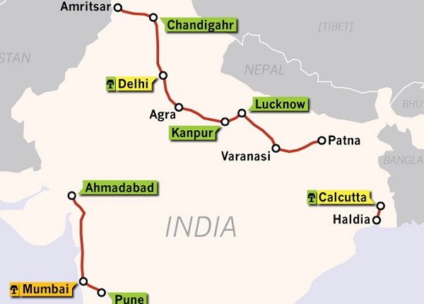
It’s just an indicative map for display purposes – as the caption says. I’ll create a proper map down the road.
When can we expect route to be finalized.?